Paul Douglas
  • Biography
  • Speeches
    • Testimonials
  • Entrepreneurial Approach
    • Paul’s Companies
  • Legal Storm
  • News
    • Scientific Sources
  • Contact
Select Page
Getting Better Out There – Another 500-Year Flood, This Time Louisiana

Getting Better Out There – Another 500-Year Flood, This Time Louisiana

by Paul Douglas | Aug 13, 2016 | Blog

82 F. high temperature in the Twin Cities Friday. 81 F. average high on August 12. 85 F. high on August 12, 2015. .29″ rain fell yesterday as of 8pm. August 13, 1964: Minnesota receives a taste of fall, with lows of 26 in Bigfork and 30 in Campbell. A Bronze...
Month’s Worth of Rain in 24 Hours – Flash Flood Threat Lingers

Month’s Worth of Rain in 24 Hours – Flash Flood Threat Lingers

by Paul Douglas | Aug 11, 2016 | Blog

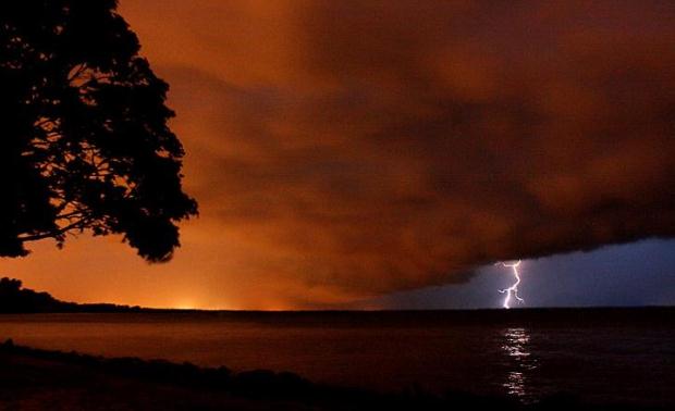
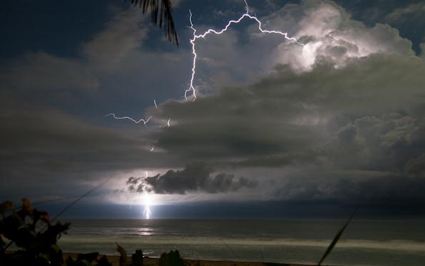
91 F. high temperature in the Twin Cities Wednesday. 82 F. average high on August 10. 82 F. high on August 10,  2015. August 11, 1945: Nearly 8 inches of rain fall from a downpour over Red Wing. August 11, 1899: A lightning bolt from ‘clear skies’ destroys...
Jungles of Minnesota: Excessive Heat – Severe Storm Threat – Flash Flood Potential

Jungles of Minnesota: Excessive Heat – Severe Storm Threat – Flash Flood Potential

by Paul Douglas | Aug 10, 2016 | Blog

87 F. high in the Twin Cities Tuesday. 82 F. average high on August 9. 82 F. high temperature on August 9, 2015. August 10, 2004: Cool Canadian air is ushered in on strong northwest winds. International Falls has its record coldest high temperature for this date with...
Tropical Heat Spike Brewing for Midweek – Flash Flood Risk Returns by Thursday

Tropical Heat Spike Brewing for Midweek – Flash Flood Risk Returns by Thursday

by Paul Douglas | Aug 9, 2016 | Blog

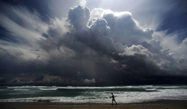
83 F. high temperature in the Twin Cities Monday. 82 F. average high on August 8. 80 F. high on August 8, 2015. August 9, 1948: 7.72 inches of rain falls at Mankato. Tropical Heat and Flooding Rains Return Later This Week “Deep summer is when laziness finds...
Heating Up By Midweek – Potentially Severe Flooding This Week for the Gulf Coast and Florida Panhandle

Heating Up By Midweek – Potentially Severe Flooding This Week for the Gulf Coast and Florida Panhandle

by Paul Douglas | Aug 8, 2016 | Blog

82 F. high on Sunday at KMSP. 82 F. average high on August 7. 84 F. high temperature on August 7, 2015. August 8, 1930: A record high of 102 is set at Redwood Falls. Increasingly Warm and Sticky, then Weekend Relief What keeps me up at night? The statistical...
« Older Entries
Next Entries »

Caring For Creation Book

Recent Posts

  • Tracking Superior Refinery Fire Plume – Spotty Shower Today – Fine Weekend Brewing April 27, 2018
  • Spotty Instability Showers Next 36 Hours – Weekend Warming Trend April 26, 2018
  • An Extended Spring Fling – Wetter/Stormier Pattern Next Week? April 25, 2018

Archives

  • April 2018
  • March 2018
  • February 2018
  • January 2018
  • December 2017
  • November 2017
  • October 2017
  • September 2017
  • August 2017
  • July 2017
  • June 2017
  • May 2017
  • April 2017
  • March 2017
  • February 2017
  • January 2017
  • December 2016
  • November 2016
  • October 2016
  • September 2016
  • August 2016
  • July 2016
  • June 2016
  • May 2016
  • April 2016
  • March 2016
  • February 2016
  • January 2016
  • December 2015
  • November 2015
  • October 2015
  • September 2015
  • August 2015
  • July 2015
  • June 2015
  • May 2015
  • April 2015
  • March 2015
  • February 2015
  • January 2015
  • December 2014
  • November 2014
  • October 2014
  • September 2014
  • August 2014
  • July 2014
  • June 2014
  • May 2014
  • April 2014
  • March 2014

Latest Post

  • Tracking Superior Refinery Fire Plume – Spotty Shower Today – Fine Weekend Brewing
  • Facebook
  • Twitter
  • RSS
Website designed by Walt Kruhoeffer