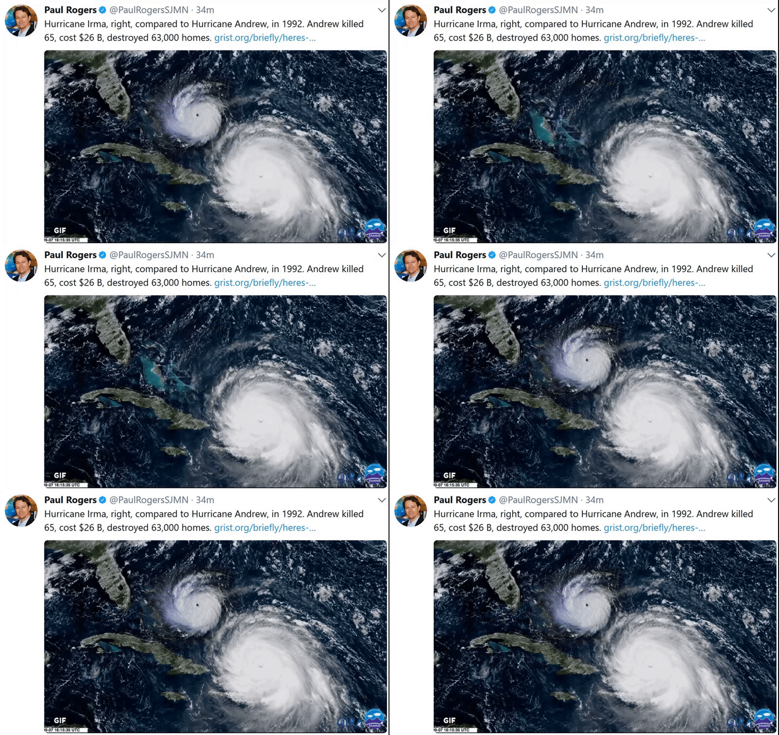
by Paul Douglas | Sep 8, 2017 | Blog
76 F. maximum temperature in the Twin Cities yesterday. 75 F. average high on September 7. 77 F. high on September 7, 2016. September 8, 1985: An F1 tornado touches down in Faribault County causing $25,000 worth of damage, and hail up to 1 3/4 inches falls in Freeborn...

by Paul Douglas | Sep 7, 2017 | Blog
68 F. maximum temperature yesterday in the Twin Cities. 76 F. average high on September 6. 81 F. high on September 6, 2016. September 7, 1990: Strong winds and hail up to 2 inches was reported in Swift, Douglas, Stevens, Kandiyohi, Meeker, Stearns, and Waseca...
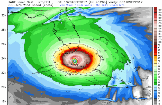
by Paul Douglas | Sep 5, 2017 | Blog
76 F. high yesterday in the Twin Cities. 76 F. average high on September 4. 79 F. maximum temperature on September 4, 2016. September 5, 1990: Nine inches of rain falls in Duluth by the end of the following day, washing out $1,000,000 worth of roads. September 5,...

by Paul Douglas | Sep 3, 2017 | Blog
Earliest First 32 On Record For The Twin Cities This is the time of year we start talking about frost and freeze across the region. In the record books, September 3, 1974, is the date of the earliest first 32 degree freeze on record for the Twin Cities. That beat out...

by Paul Douglas | Sep 3, 2017 | Blog
“Wanna See a Fighter Jet Fly Through a Rainbow? Of Course You Do” RAINBOWS ARE GORGEOUS. Jets are cool. Put them together, and you’ve got this incredible photo of a Tornado GR4 soaring through a radiant band of ROYGBIV. The photographer prefers to remain...
by Paul Douglas | Sep 2, 2017 | Blog
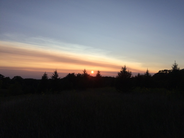
Smoky Sunset Thursday I recently just got back from an extended vacation and happened to get a picture of the smoky sunset on Thursday in Wisconsin. You can actually see the layer of smoke, which looked like thin veil of cirrus clouds in the distance. You can tell it...
