by Paul Douglas | Jan 11, 2018 | Blog
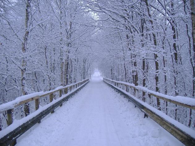
A Little Snow – Followed by a Shorter Cold Wave “Objects in mirror are closer than they appear.” That would make a nice tattoo on my forehead. Predicting snow is like anticipating a long, restfully-rewarding weekend. Sounds good on a Monday, but by...
by Paul Douglas | Jan 10, 2018 | Blog
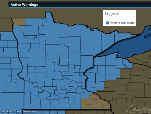
Winter Storm Watch (PM Wednesday – Thursday) A Winter Storm Watch has been issued by the National Weather Service from PM Wednesay to Thursday for the potential of accumulating snow and blowing snow. Here’s the latest from the @NWSTwinCities: A band of...
by Paul Douglas | Jan 9, 2018 | Blog
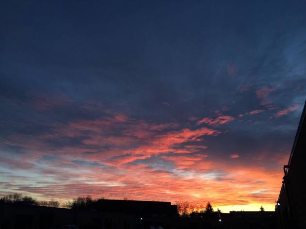
Monday Sunrise For the 2nd night in a row, the Twin Cities stayed above 0F !! In fact, the temperature on Monday was in the +10s and +20s across much of the state, which was the warmest it’s been since just before Christmas. ...

by Paul Douglas | Jan 8, 2018 | Blog
A Look At The Recent Cold Stretch We finally made it above 20 degrees Sunday in the Twin Cities! Yes, that is something to celebrate at this point after a long stretch of sub-20 highs. How long have been been in this cold stretch? Well, we were below 20 for 13...

by Paul Douglas | Jan 7, 2018 | Blog
Saturday Sunrise The Twin Cities dipped to -10F on Saturday morning, which was the 6th time this season that MSP has had a low temperatures in the teens below zero! The coldest low temperatures was -16F on December 31st. 2017 Temperatures in the Twin Cities Thanks...
